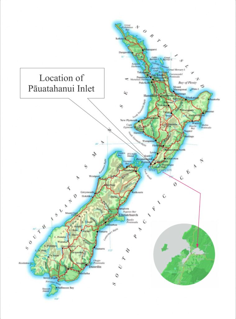
Pāuatahanui Inlet is situated on the west coast of the North Island, about 25 km north of Wellington. The Inlet has an area of 4.5 sq km, about a quarter of which is tidal flat. The surrounding catchment covers an area of about 105 sq km.
Pāuatahanui Inlet is the largest relatively unmodified estuarine area in the southern North Island. It is the larger of the two branches of Te Awarua o Porirua Harbour, a natural harbour and estuary formed from two old river systems that were flooded by rising sea levels at the end of the Ice Age. The other branch is the Onepoto Arm with the city of Porirua at its southern end.
In contrast to Onepoto, the shores of Pāuatahanui Inlet remain relatively natural. Despite having significant areas of residential suburban development on its southern and western shores and being 75% ringed by roads, the Inlet is not yet critically affected by pollution. However, housing and roading developments have significantly changed its ecological and hydrological conditions and sedimentation is continuing at an accelerated rate.
The Inlet is well recognised for its high ecological, aesthetic, recreational and cultural values. It is classified as a Site of Special Wildlife Interest by the Department of Conservation and recognised in the Regional Coastal Plan as an Area of Significant Conservation Value.
LINK TO GOOGLE MAPS
Pāuatahanui Inlet Catchment
The beauty of the Inlet is widely acknowledged. It is a broad expanse of water sitting in a green bowl of relatively steep catchment hills, and the light and shadows on the hills are an enchanting backdrop to the moods of the water.
But the relationship between the hills and the water goes beyond beauty. They are crucially connected because the presence of the catchment hills influences the ecology of the Inlet water and managing that ecology requires Inlet and catchment to be regarded as a single entity.
This image shows the catchment boundaries (red) as well as district boundaries (blue). The catchment runs from the north, near the top of Paekakariki Hill Road, south to Belmont Park and from Paremata in the west, eastward to the top of Haywards Hill, an area of over 100 sq km.
At the eastern end of the Inlet lies the Pāuatahanui Wildlife Reserve, a fully restored and protected wetland managed by the Forest and Bird Society (F&B) in association with the Department of Conservation (DOC).
The Reserve contains the most significant remaining area of saltmarsh in the lower North Island and is home to many native plants (with vegetation types from tidal mudflats to coastal forest) and birds, including a diverse local and migratory waterfowl and wading-bird fauna. It also contains threatened native fish species and endangered plants.
More information about the Reserve and how to get there can be found on the Forest & Bird website